Are you looking to see the remains of a wildfire? To see the evidence of recovery and the broad sweeping scenes of chaparral forest unique to the San Bernardino Mountains?
I was curious enough to take this half-day hike that offered me evidence of ecological adaptation to wildfires, the scenic beauty of the chaparral forest, as well as a final stop by a babbling creek at a time close enough to autumn to have fall colors and close enough to winter to keep cool while hiking in some long-sleeved layers.
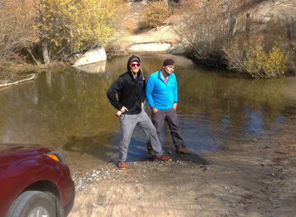
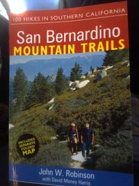
 From State Highway 18 (the Rim of the World Highway), we followed the San Bernardino Mountain Trails guide book to the Crab Flats Campground to realize the guidebook was right – crossing Crab Creek would prove to be impassable by car due to high water. This was a sign that California was both receiving some precipitation so far this year, but also that we wouldn’t finish our drive to the trailhead.
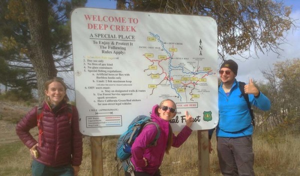
 We parked our cars and hiked along the dirt road, passing the Crab Flats Campground and the Tent Peg Campground which had just closed for the season (closed November 1). We knew we were hiking past the peak seasons and, hopefully, could enjoy a nice autumn day hike without getting too troubled by the weather. We hiked another additional 1.1 miles to the sign: “Welcome to Deep Creek.”
 The views from the well-maintained switchbacks were beautiful – before noon this day, the sky was blue, the wind was chilling – a gamble on the weather one takes in autumn. Layers were important when we arrived in the chill autumn air, but they were quickly shed and packed as the sunshine and our movements provided ample warmth for the morning.
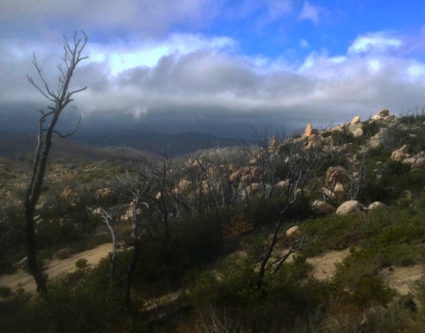
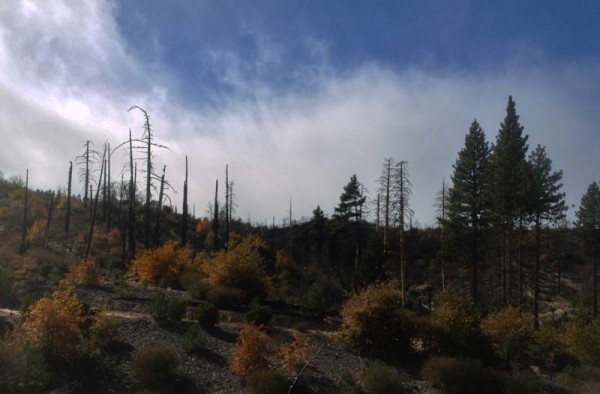 Visible on our 1.3 mile hike down switchbacks to the creek were the “scars” of the fire from the 2007 October Slide Fire; but scars heal in the forest, and the forest was doing fine. Not being a native Californian, many of my relatives hear about the wildfires and panic. They worry about my safety. This past year (2015) the Lake Fire affected the forest surrounding our sites at High Trails. So while I understand the wildfires can be scary and I greatly appreciate the work firefighters do to protect our property, I also understand, as a naturalist, a healthy dose of wildfire is good for a forest. I have seen its power and effects on the environment.
No Jeffrey or Coulter Pines stand tall along the slope that I’m hiking anymore – though a few charred skeletons remain standing upright. No more old standing black oaks, either. While trees bore charred marks, live oaks were sprouting and the forest was developing healthy layers again. The forest floor has few leaves and fewer needles. The chaparral – the defining vegetative feature of the San Bernardino Mountains, with many-branched shrubs, deep roots and their hard-surfaced leaves – is gradually recovering.
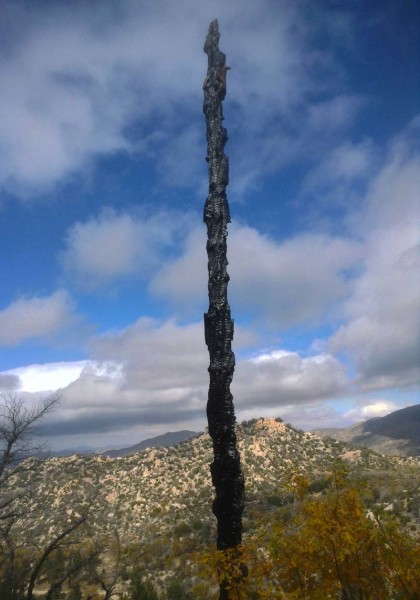 The forest is adapted to survive a wildfire, while humans new to living in or near these forests are just trying to adapt as well. I know some people will look at these charred remains and click their teeth and shake their head. But I look at the landscape and say to myself, “Just a natural course of actions.”
Dipping down the last 0.3 mile into Deep Creek, the dry rocks of granite provided surfaces sticky enough to maintain our traction into the creek. Enough fun rocks to sit, rest, hydrate, snack and assess the weather for the afternoon hike back. The creek was full of the deciduous leaves – yellow, orange, and red. Clouds were moving in, the sky no longer blue, but grey and the wind had not let up. Being in the valley carved by the creek also made the temperature much cooler, with no sunshine and just shade down there, it was a brief stay then turn around to hike out.
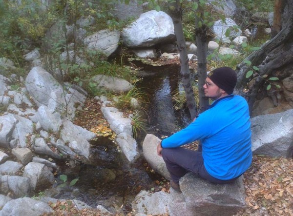 So we began our hike back – the effort of our hike up warmed us as the weather grew colder. We imagined that, in full summer sun and heat, it would be a much hotter hike and requiring more sun protection and water. I grew up in the Northeast, and as Southern Californians will point out, the Northeast experiences the seasons whereas the majority of Southern California does not. But living and hiking in the San Bernardino Mountains still gives me the experiences and memories of the season I grew up with.
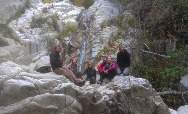 Finding myself in the forest, albeit affected by wildfires, the presence of chaparral and the coniferous trees may be different from the fall I grew up with, the colors, the cold during autumn and the rapidly changing weather give me a sample of the autumn of my youth.
 Trail Name: Upper Deep Creek via Crab Flats
Forest Service Designation: 2W07
Total Distance: 4 miles round trip
Overview: Park at the top and follow some moderate switchbacks into the Deep Creek.
Difficulty: Moderate
Activities: Hiking / Fishing
Trail Type: Destination trail
Trailhead and Parking: From the Rim of the World Highway, 2.9 miles northeast of the intersection with 330 at Running Springs and just past mile marker 018 SBD 34.50, turn left (north) onto Green Valley Road. After 2.6 miles – just before you reach Green Valley Lake – turn left again onto Forest Road 3n16. Descend this good dirt road toward Crab Flats Campground, passing several side roads and crossing Crab Creek (impassible in high water). Reach the junction with Big Pine Flat Road after 3.8 miles. Stay left onto 3N34, passing Crab Flats Campground after 0.2 mile. Another 1.1 miles farther, park at a clearing and a large VISITORS TO DEEP CREEK sign near Tent Peg group camp.
At High Trails Outdoor Science School, we literally force our instructors to write about elementary outdoor education, teaching outside, learning outside, our dirty classroom (the forest…gosh), environmental science, outdoor science, and all other tree hugging student and kid loving things that keep us engaged, passionate, driven, loving our job, digging our life, and spreading the word to anyone whose attention we can hold for long enough to actually make it through reading this entire sentence. Whew…. www.dirtyclassroom.com

Comments are closed.